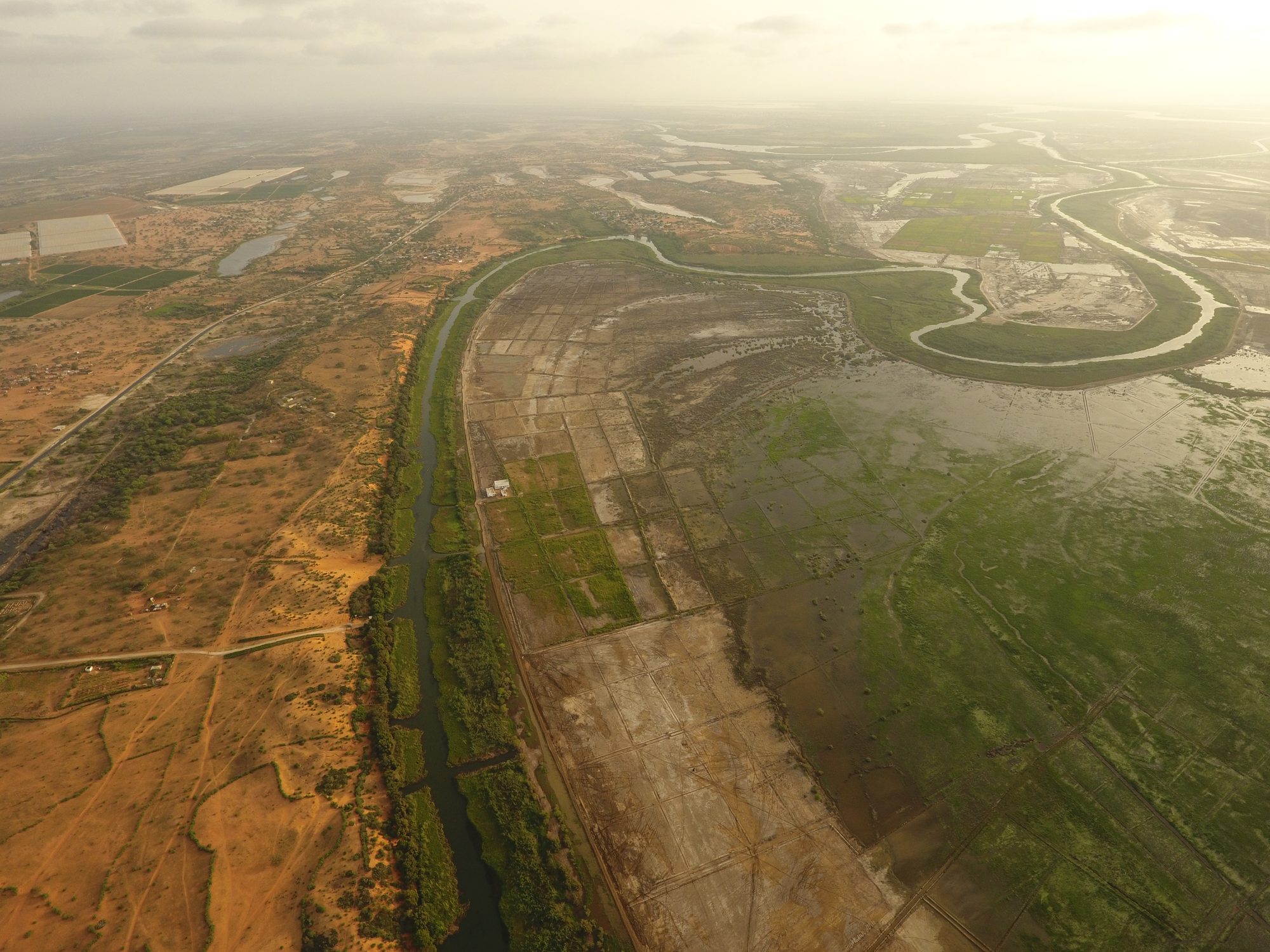
Snail habitat from space, Senegal River basin
Dams and irrigation along the Senegal River changed its water and fed the plants that schistosomiasis snails live in. Surveys on foot reach only a few sites; the risk spreads across the whole basin.
We built a deep learning model that maps floating plants, rooted plants, open water and land from high-resolution satellite images, using drone maps and field surveys to teach it what each looks like from above. I helped build, train and test the model, organized the image data, labeled the training maps and led the drone mapping behind them. The approach grew into an AI platform for mapping schistosomiasis risk from space.
Papers: Liu et al. 2022, Remote Sensing
News: Stanford HAI, March 2020 · Stanford Report, March 2026 · Stanford HAI, March 2026