Forest canopy height, Borneo
Canopy height is a good guide to how much carbon a forest holds and where it is being degraded. Measuring it usually takes airborne lidar, which is costly and covers only narrow strips.
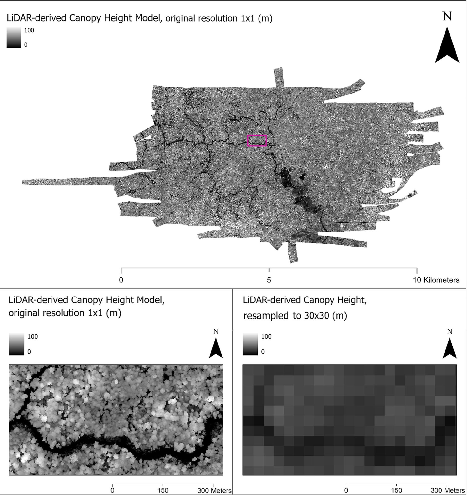
I led a project that trained a deep learning model on lidar from 85 sites across Indonesian Borneo, paired with free satellite and terrain data. The model can predict canopy height at 30 m across Kalimantan wherever lidar is missing, and it was more accurate than the tree-based methods common in the field.
Forest loss. Building on the canopy height model, I mapped forest loss around villages in West Kalimantan for a study of how health care and livelihood programs held up during the pandemic.
Papers: Chamberlin et al. 2025, Remote Sensing · Hopkins et al. 2026, The Lancet Planetary Health
News: Stanford Woods Institute, July 2026
Code: canopy_height_ml (MIT license)
Figures from Chamberlin et al. 2025, CC BY 4.0.